Carrollton GreenBelt Access Points
The GreenBelt trail encircles the City of Carrollton and is accessible directly from many neighborhoods. The trailheads provide easy trail access for users who do not live in close proximity to the trail. See below for:
- Parking locations & directions.
- Trailhead amenities like restrooms and ware fountains.
- Nearby attractions.
“There are no shortcuts to any place worth going.“
Beverly Sills, Opera singer
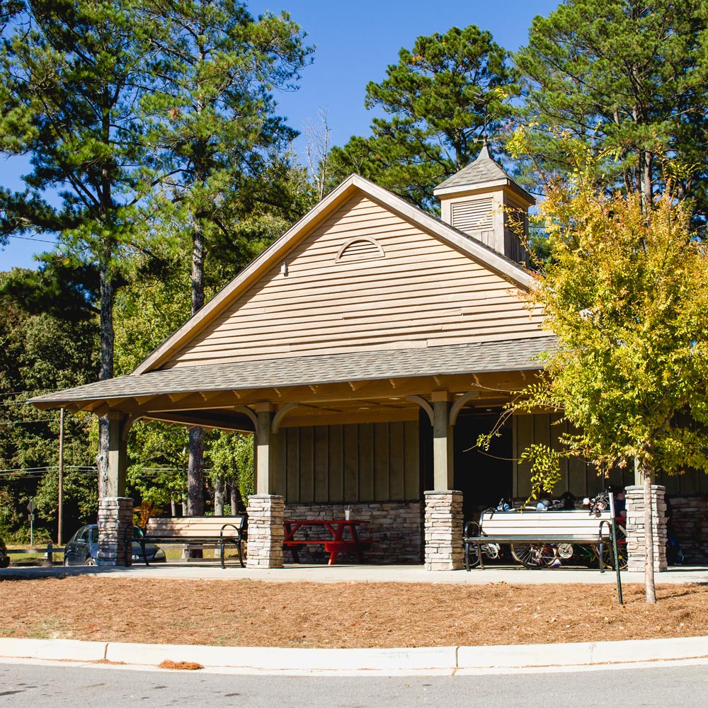
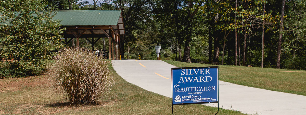
Laura’s Park
at Hays Mill Trailhead
TH#1 | MILE: 0.0
Located just off the Carrollton Bypass (Hwy 166) and immediately north of Hays Mill Overlook subdivision.
Amenities
parking , restrooms , pavilion, picnic tables, water fountain, flower garden, bike repair station
In the Area
Carrollton City Schools
Buffalo Creek Shoals
Sunset Hills Country Club
Old Newnan Road-Trailhead
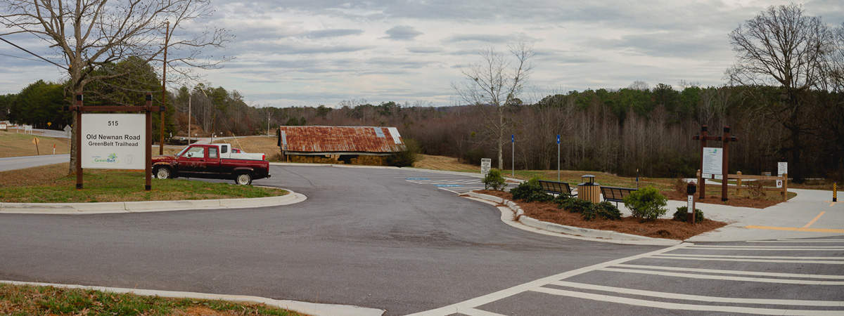
- Address: 515 Old Newnan Road, Carrollton, Georgia 30117
- Located on Old Newnan Road across from the DMV office.
- Amenities: parking.
- In the area: DVM office, Meadow Entrance to Buffalo Creek Nature Trail, Ayers Dairy Trail Section.
- Mile 4.41
Visitors Bureau Trailhead
- Address: 102 North Lakeshore Drive, Carrollton, Georgia 30117
- Located just off Bankhead Hwy overseeing Lake Carroll.
- Amenities: parking, restrooms, picnic tables.
- In the area: Carrollton Area Convention and Visitors Bureau, Lake Carroll, East Carrollton Park
- Mile 6.0
Lakeshore Park Trailhead
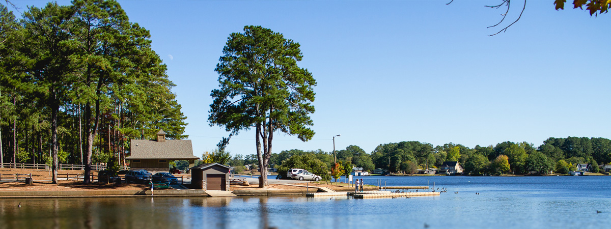
- Address: 600 N Lakeshore Drive, Carrollton, Georgia 30117
- Located across from baseball fields on Lakeshore Drive.
- Amenities: parking, restrooms, water fountain, boat docks, picnic tables.
- In the area: playground and pavilion (on Lumpkin Drive), Lakeshore Park Pool,
- Mile 7.7
Hobbs Farm Park Trailhead
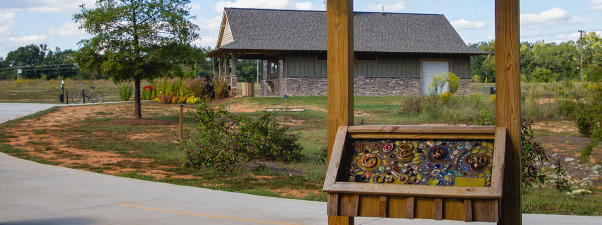
- Address: 500 Believers Boulevard, Carrollton, Georgia 30117
- Directions: from Adamson Square – travel north on Rome Street, turn right onto Believer’s Boulevard, continue to the parking area.
- Amenities: parking, restrooms, water fountain.
- In the area: Hobbs Trail Loop (0.9 miles), disk golf course, pollinators garden, Hobbs Farm Fit Court.
- Mile 8.6
Alabama Street Trailhead
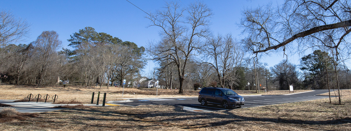
- Address: Alabama Street, Carrollton, Georgia 30117
- Directions: from Adamson Square – travel west on Alabama Street, pass Columbia Drive, the parking is on the right, just before the bridge.
- Amenities: parking
- In the area: Little Tallapoosa Trail Section
- Mile 8.6
Other parking locations:
- McIntosh Plaza
- 1109 South Park Street, Carrollton, Georgia 30117
- Parking lot located in the McIntosh shopping center.
- East Carrollton Park– Northside Drive
- 300 Northside Drive, Carrollton, Georgia 30117
- Located near soccer and softball fields.
- Amenities: parking, restrooms, water fountain.
- Castle Playground
- Northside Drive, Carrollton, Georgia 30117
- Amenities: parking, restrooms, picnic tables.
- Firestation #24
- 150 Fire Station Drive, Carrollton, Georgia 30117
- Located on the intersection of Bankhead Highway and Northside Drive, parking at a pavilion behind the fire station.
- Amenities: parking, pavilion.
- N Lakeshore Drive Parking
- Corner of N Lakeshore Drive and Stewart Street
- Small parking lot located on the corner of Lakeshore Dr and Rome St.
- Maple Street Parking
- Corner of Maple Street and Commons Boulevard
- Parking is located near the CVS just off the Carrollton Bypass.
Distances between major points
Laura’s Park at Hays Mill Trailhead – 0 marker.
- Carrollton Elementary School – 0.8 miles
- Carrollton Middle School – 1 mile
- Target Spur – 1.3
- Roop Street Crossing – 1.75
- Elder Circle – 2.24
- Clinic Avenue (Tanner) – 2.39
- Railroad crossing – 2.69
- Ayers Dairy – 3.86
- Buffalo Creek Entrance – 4.3
Old Newnan Road Trailhead – 4.41
- Cedar Street – 5.17
- Bankhead Highway – 5.95
Visitors Center Trailhead – 6.0
- East Carroll Park – 6.3
- Castle Playground – 6.88
- N Lakeshore Pool – 7.58
N Lakeshore Park Trailhead & Docks – 7.7
- Stewart Street – 8.1
Hobbs Farm Park Trailhead – 8.6
- Rome St / William St intersection – 9.46
- N Park Street / Hwy 27 Crossing – 9.64
- Martin Luther King Jr Drive – 10.19
- Avalon Drive Spur – 10.5
- Brumbelow Rd / Lovvorn Rd intersection – 12.7
Alabama Trailhead – 11.88
- West GA Drive – 13.23
- Forrest Drive – 13.87
- CVS / Bypass Intersection – 14.49
- Boardwalk N entrance – 15.51
Hays Mill Trailhead – 16.3

